Professional map plugin that collects field size, CAD drawing production, elevation, surface, route and output processes in a single panel. SC23 Map collects repetitive operations on CAD in a single panel in map and construction projects, making the field-office connection faster, readable and professional.
C23 What does a map do?
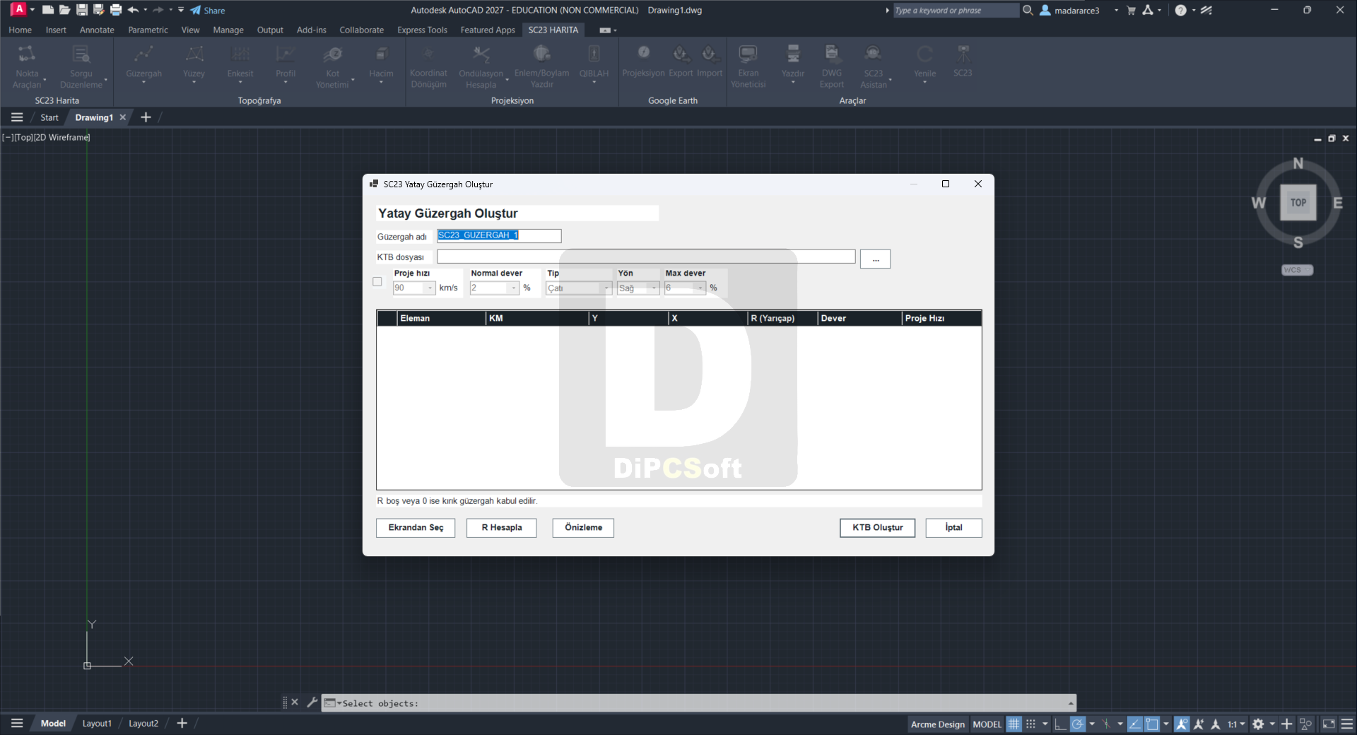
It is a professional production panel that converts field data into regular drawing output and collects point, elevation, coordinate, surface, route, profile, cross-section, volume and Google Earth workflows in a single center.
Who can use it?
It was developed for map and cadastre technicians, survey engineers, topographers, civil engineers, construction technicians, field measurement teams and all professionals engaged in map production in a CAD environment.
What files and workflows does it support?
CAD drawing production focuses on LandXML, KML/KMZ, coordinate conversion, surface, cross-section, profile, route, volume and cubage workflows.
Screenshots
Downloads