
Spatial Manager™ for BricsCAD is a powerful BricsCAD plug-in designed for BricsCAD users who need to import, export, transform and manage spatial data in a simple, fast and inexpensive way, which includes many functionalities not seen so far in BricsCAD
It comes in a lightweight application that runs inside BricsCAD and allows the user to import and export geospatial data between BricsCAD drawings and geospatial files, data servers or data stores, display background maps, manage alphanumeric data and data tables, create terrain models and contours, search for locations, transform coordinate systems, and many more geospatial functionalities
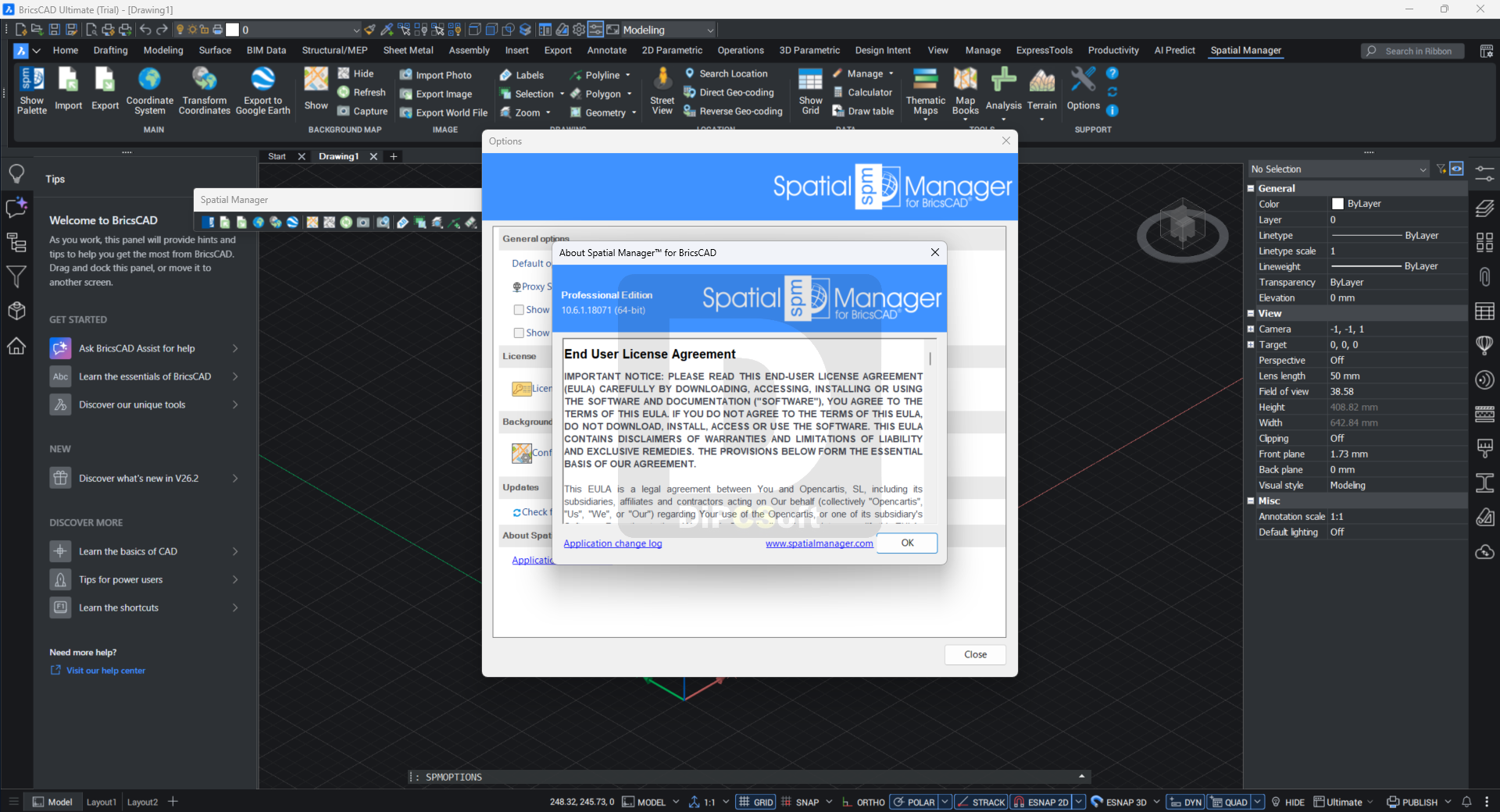
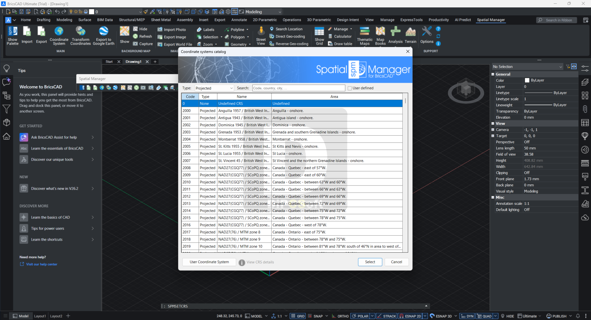
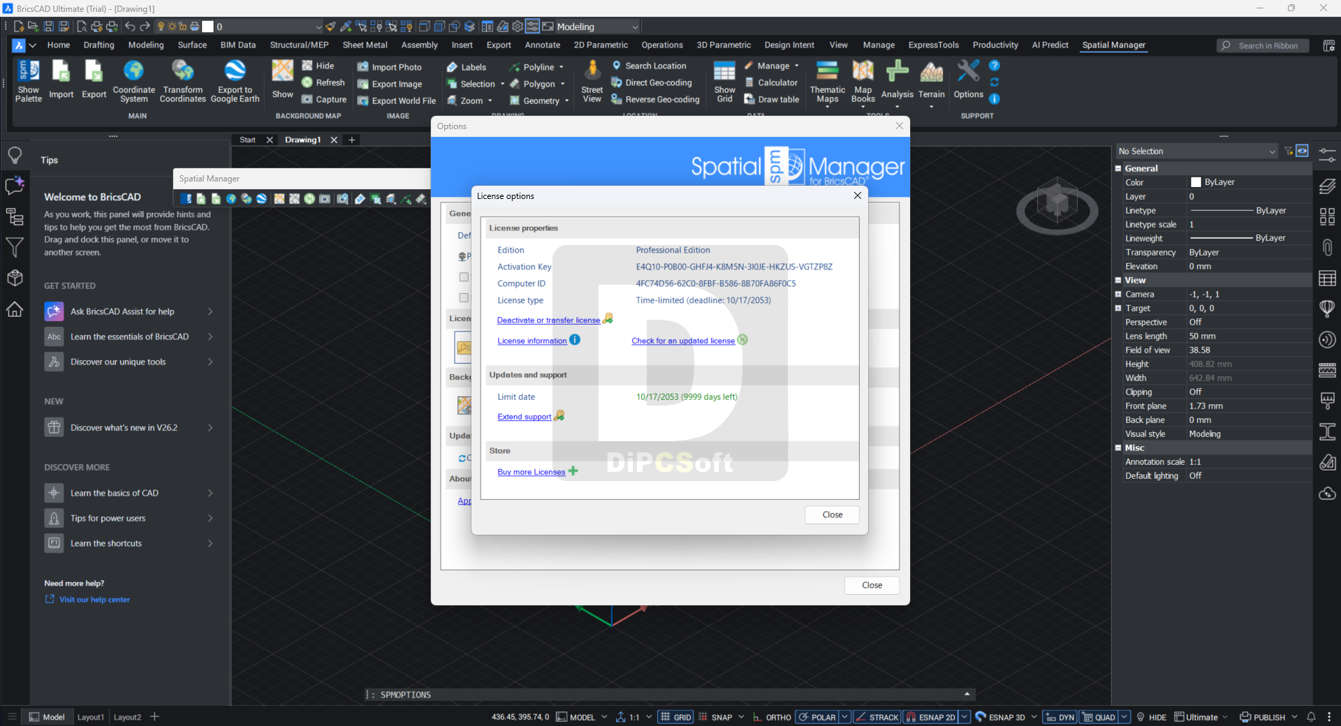
Screenshots
Downloads