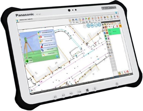
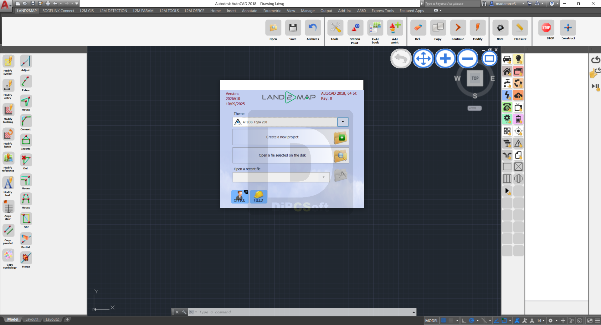
Land2Map is an all-in-one mobile topographic solution that offers a unique approach on an AutoCAD touch tablet. Extremely multipurpose, the solution is adapted to your specifications and will replace your field notebook. Thanks to its innovative technology, Land2Map allows the management via Bluetooth of most topographic tools, total stations and GPS of the market, offers a complete survey visibility at the same time.
Land2Map is a true assistant for your construction location and improves your onsite productivity.
Land2Map is compatible with the main manufacturers on the market: Leica Geosystems, Trimble, Topcon, Spectra, Sokkia.
Land2Map adapts to the graphic charts required by all clients and complies with national regulations.
Screenshots
Downloads