Civil Site Design for AutoCAD refers to using specialized software tools—most commonly Civil Site Design (CSD)—in combination with AutoCAD or AutoCAD Civil 3D to produce detailed designs for civil engineering projects like roads, subdivisions, stormwater systems, and grading.
Here’s a detailed overview of Civil Site Design for AutoCAD:
🔧 What is Civil Site Design?
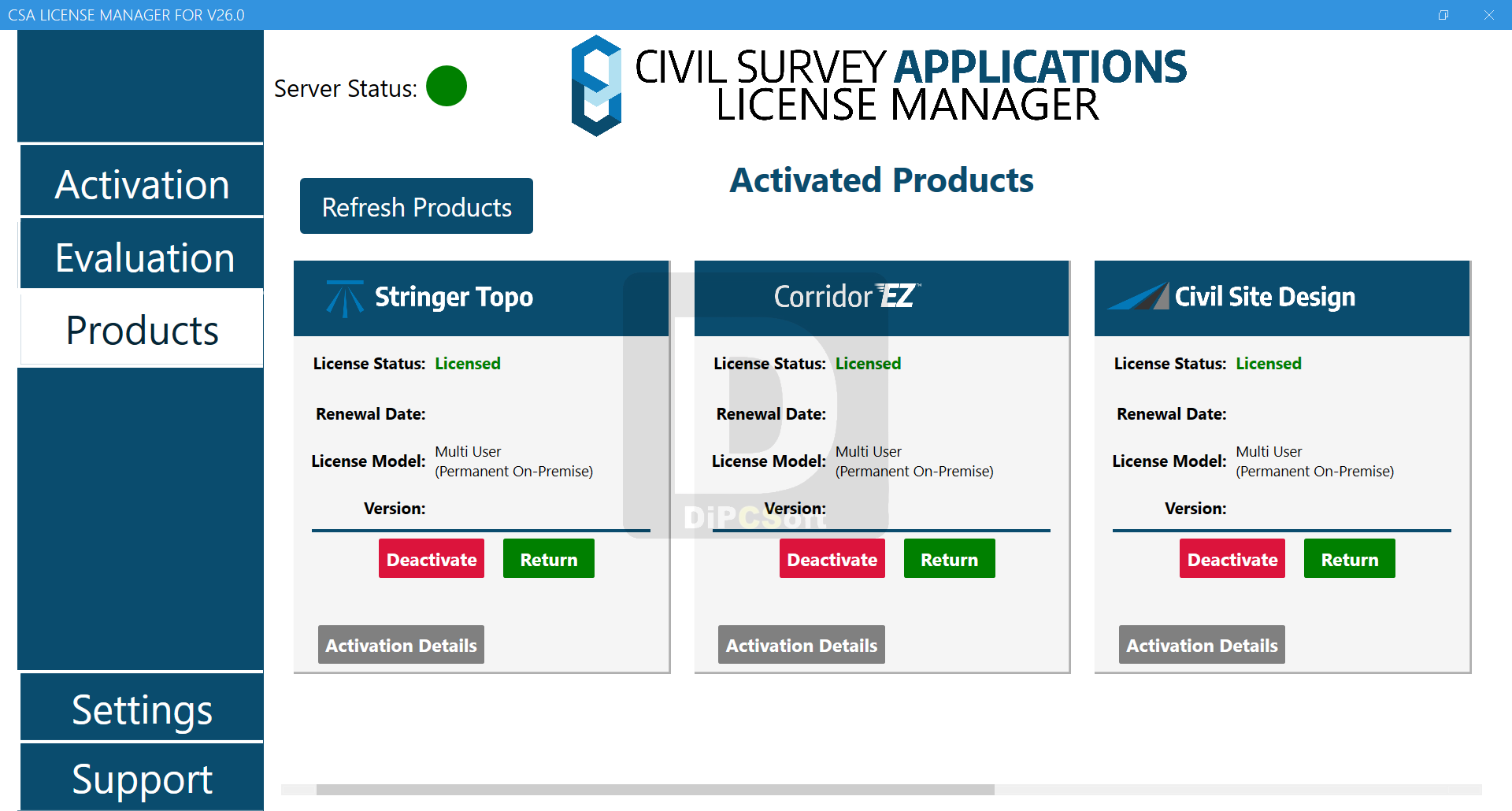
Civil Site Design (CSD) is a third-party plugin developed by Civil Survey Solutions. It enhances AutoCAD and Civil 3D capabilities, providing automation and design tools tailored for civil engineers. It is used globally for:
Road and intersection design
Site grading
Pipe networks (stormwater, sewer, water)
Lot grading for subdivisions
Earthworks calculations
Corridor modeling
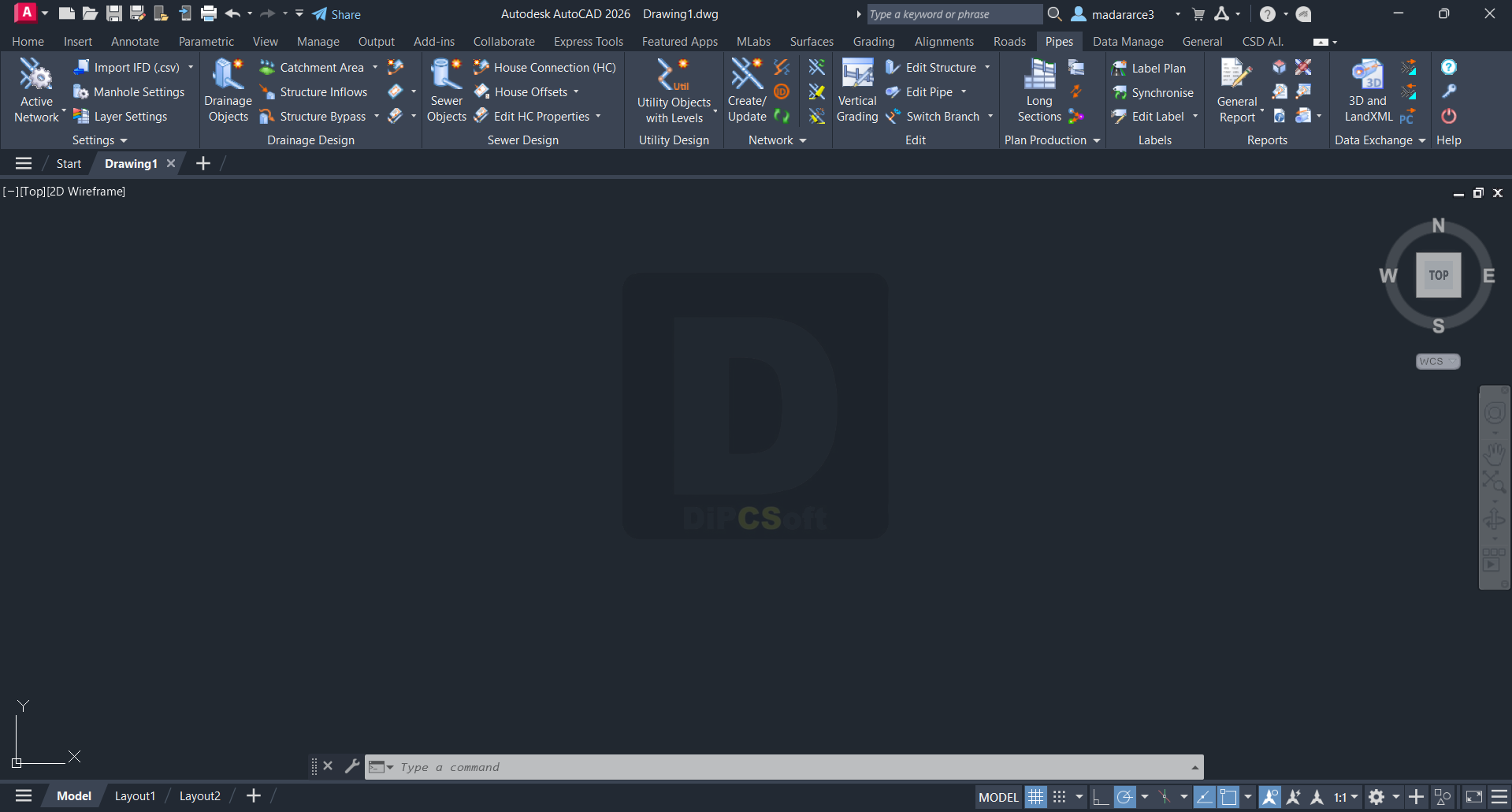
🛠️ Platforms Supported
Civil Site Design works with:
AutoCAD (standard or Map 3D)
AutoCAD Civil 3D
BricsCAD
AutoCAD 2025 and earlier (check compatibility with your version)
💡 Key Features
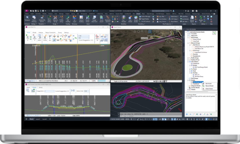
1. Road Design
Automated alignment and profile creation
Cross-section templates
Intersection and roundabout tools
Dynamic updates to design changes
2. Grading
Feature-based grading tools
Design surfaces and cut/fill volumes
Visual slope and elevation maps
3. Pipe Networks
Design stormwater, sewer, and water systems
Pipe sizing and analysis
Connection to Civil 3D pressure/gravity network tools
4. Lot Layouts
Automated lot creation based on alignment and road design
Individual lot grading tools
Real-time updates from site changes
5. Visualization
Quick generation of long sections, cross-sections
3D surface modeling
Export to Navisworks or InfraWorks for visualization
Screenshots
Downloads