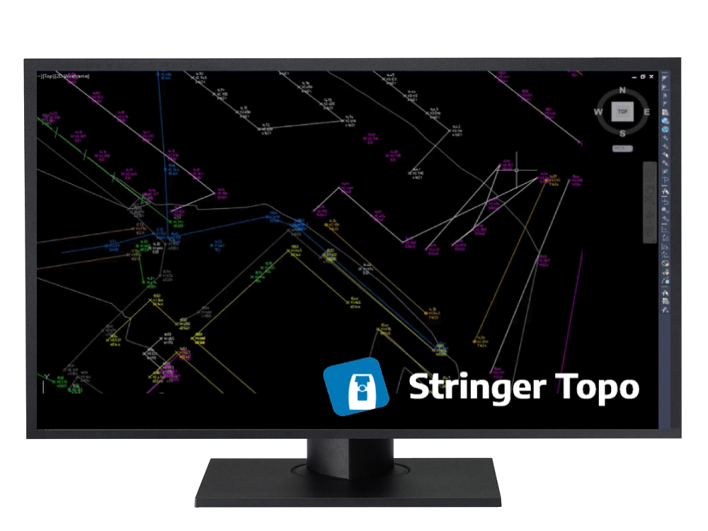
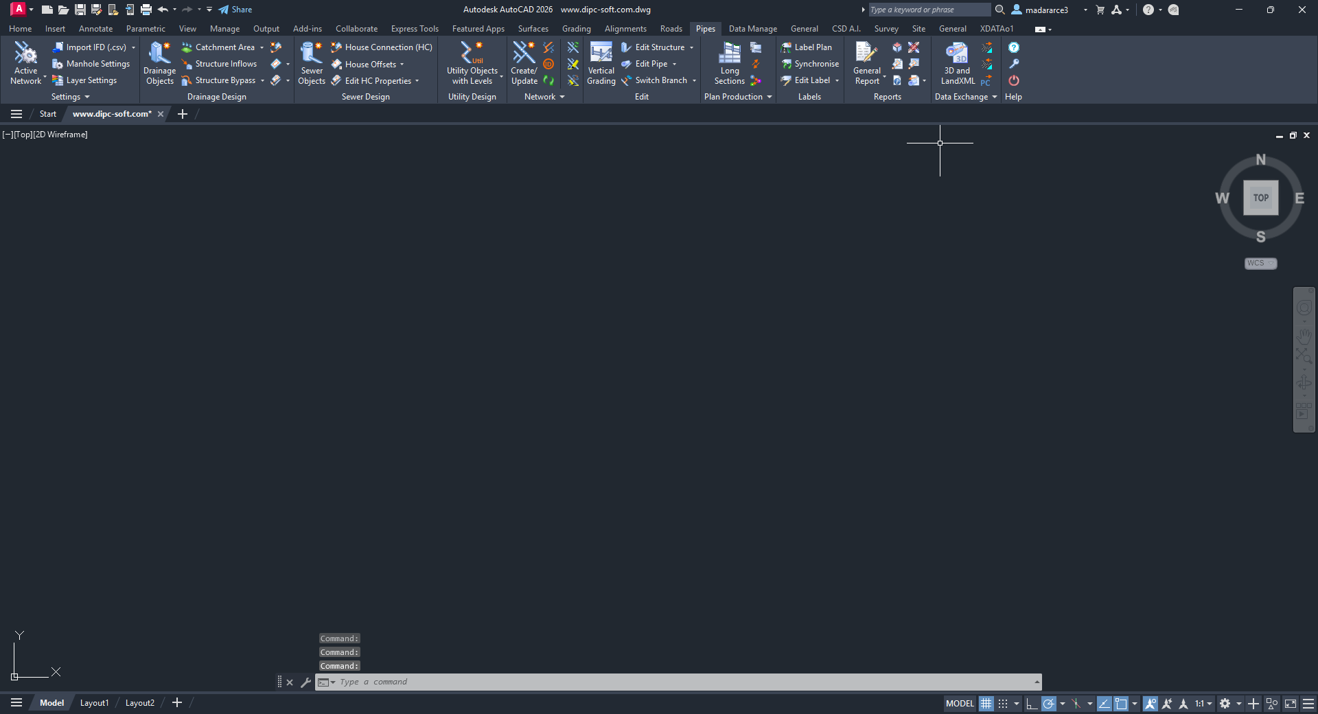
Stringer Topo has been developed to streamline the reduction and presentation of survey observations inside your drawing, whether you’re using AutoCAD, AutoCAD Civil 3D or BricsCAD. Developed by surveyors with over 20 years experience in the industry, Stringer Topo focuses on maximizing your efficiency in adding and editing breaklines, automating linework display, adding and editing point data, creating surfaces and table outputs directly in the drawing.
Stringer Topo delivers fast, easy to use survey tools for creating topographical surveys in your drawing, ready for final documentation and plotting. Associated functionality includes survey quality (comparison) reporting, point export, import/export to numerous formats, traverse editing and drafting for cadastral plans.
Extensive COGO Point Functionality
- For Civil 3D users, Stringer Topo enables advanced editing with dynamic links to other objects as well as the ability to store and report extended property data such as alignment references
- For AutoCAD and BricsCAD users, harness the power of dynamic blocks and attributed text to fully customise the display of your COGO points, automatically displayed how you like based on your point descriptions
- Quickly edit point coordinates using Helmert or Affine transformations
- Reduction of Raw Survey Observation Data
- Provides you with the ability to convert multiple raw observation files into a single editing interface with graphical feedback as survey edits are applied. Create coordinated points from the survey data and maintain a link between survey and output points.
- Automated Survey Linework and Breaklines
- Works directly on COGO points and surfaces in the drawing to automate the breakline creation process and enable immediate updating of surfaces as points are edited
- Makes it quick and easy to add, edit and remove breaklines and survey linework directly inside the drawing. With a wide collection of point and string editing tools you can quickly correct any pickup errors and get to the finished product.
- Survey Tools and Outputs
- Create highly customisable legend and other reporting tables in your drawing at the click of a button
- Detailed comparison reporting tools for QA reporting: compare points, surfaces, alignments, lines and polylines
- Draw cadastral lines, label area polylines and apply traverse adjustments
Screenshots
 Downloads