It enables seamless importing of various file formats such as KML, Shapefile, CSV, GPX, and more. Similarly, users can effortlessly export drawings to formats like KML, Shapefile, GeoJSON, and CSV. Users can easily manage coordinate systems in their drawings. They can assign/unassign coordinate systems, display system information, and convert coordinate values for different projections.
Key Features
- Topography: SPCAD offers robust tools for topographic analysis, including defining alignments, creating TIN surfaces, contour lines, and elevating points on TIN.
- Cadaster: SPCAD simplifies parcel tasks with its Parcel Manager, allowing users to create, add, locate, label, and organize parcels. Lot subdivision methods and parcel creation from polylines further enhance its capabilities.
- Geometry: Users can expedite geometry-related tasks with SPCAD, including creating right-angled triangles, rectangles, and angle bisectors. The add-on also facilitates converting 2D to 3D polylines and reducing polyline nodes.
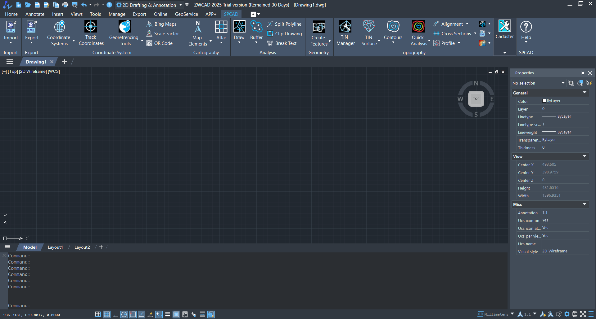
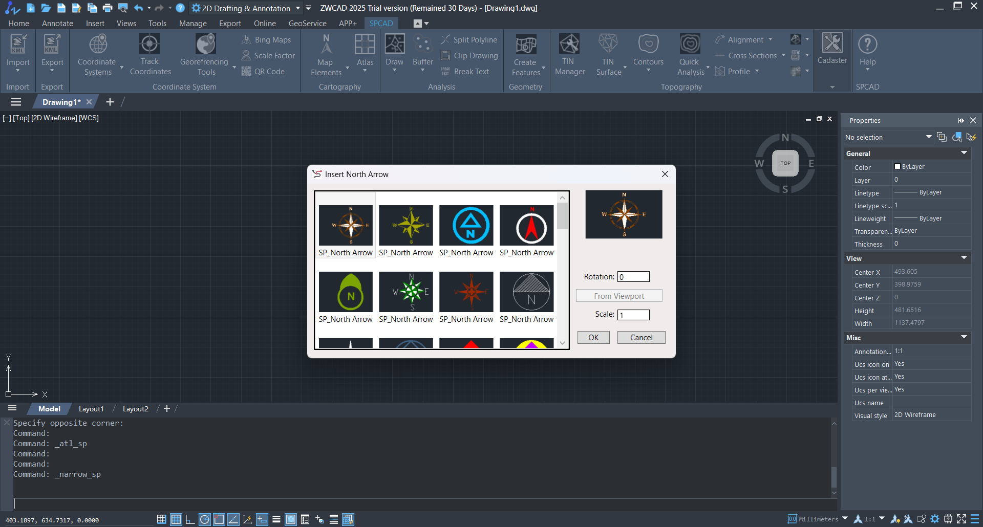
Screenshots
Downloads