Spatial Manager™ for AutoCAD is a powerful AutoCAD plug-in designed for AutoCAD users who need to import, export, transform and manage spatial data in a simple, fast and inexpensive way, which includes many functionalities not seen so far in AutoCAD
It comes in a lightweight application that runs inside AutoCAD and allows the user to import and export geospatial data between AutoCAD drawings and geospatial files, data servers or data stores, display background maps, manage alphanumeric data and data tables, create terrain models and contours, search for locations, transform coordinate systems, and many more geospatial functionalities
Key features
Import spatial data into AutoCAD
Imports spatial data, into new or existing AutoCAD drawings, as AutoCAD objects and Extended Entity Data (EED/XDATA)
Export spatial data from AutoCAD
Export objects from the drawing to spatial files or databases, and saves their Extended Entity Data (EED/XDATA) as alphanumeric data tables
Coordinates transformation Updated V9
Calculate geometric transformations of the objects in the import and export processes
Background maps Updated V9
Choose from among a lot of dynamic Backgrounds Maps from providers such as Google Maps, OpenStreetMap, Bing, MapBox, Ordnance Survey, etc., configure your own maps from TMS, WMS or WMTS servers or connect to Cloud Optimized GeoTIFF (COG) type sources
Publishing to Google Earth
Export all or part of the objects in the visible Layers of the drawing and their data to a KML or KMZ file
Thematic maps
Visualize objects coloring them depending on their field values
Data management, query and edition
Manage the alphanumeric data attached to the objects, design and edit the structure which will be used to store the data
Data grid
The Data Grid palette allows you to view, edit, etc. the objects data in any table in the drawing. You can also select objects from the Data Grid, export the data from the tables and more
Fields calculator
Calculate simple or complex expressions using operators and functions that can be applied to field values in a table and/or to constant values
Spatial analysis
Perform spatial analysis operations over the objects in the drawing generating new objects from such analysis
Drawing tools New V9
Drawing tools make your life easier by allowing you to perform actions directly on the drawing
Image tools New V9
Spatial Manager’s image tools allow you to efficiently manage work with raster images
Location tools
Location and geo-coding tools help to add reference elements and enhanced data to existing objects
Google Street View integration
Google Street View dynamic image browser on any geo-referenced drawing or map
Label objects Updated V9
Label data values from tables attached to the objects as Texts
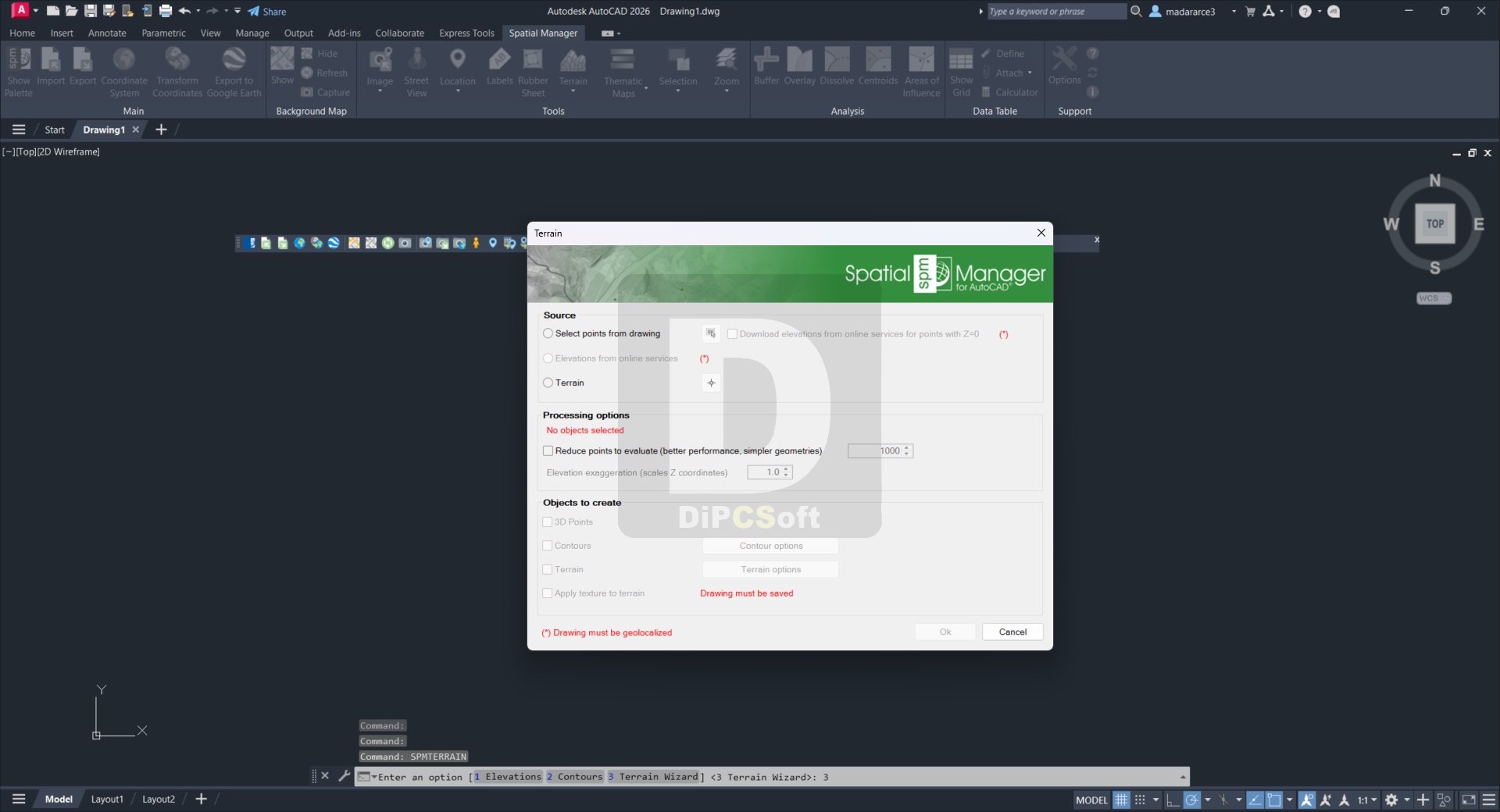
Terrains
Create Terrains and other related objects (3D Points, Contours, etc.) from 3D data or from Elevation services
Import tasks
Save Tasks to replay import processes (including all process parameters) so many times as desired
Multilanguage
Available in English, German, Spanish, French, Russian and Portuguese
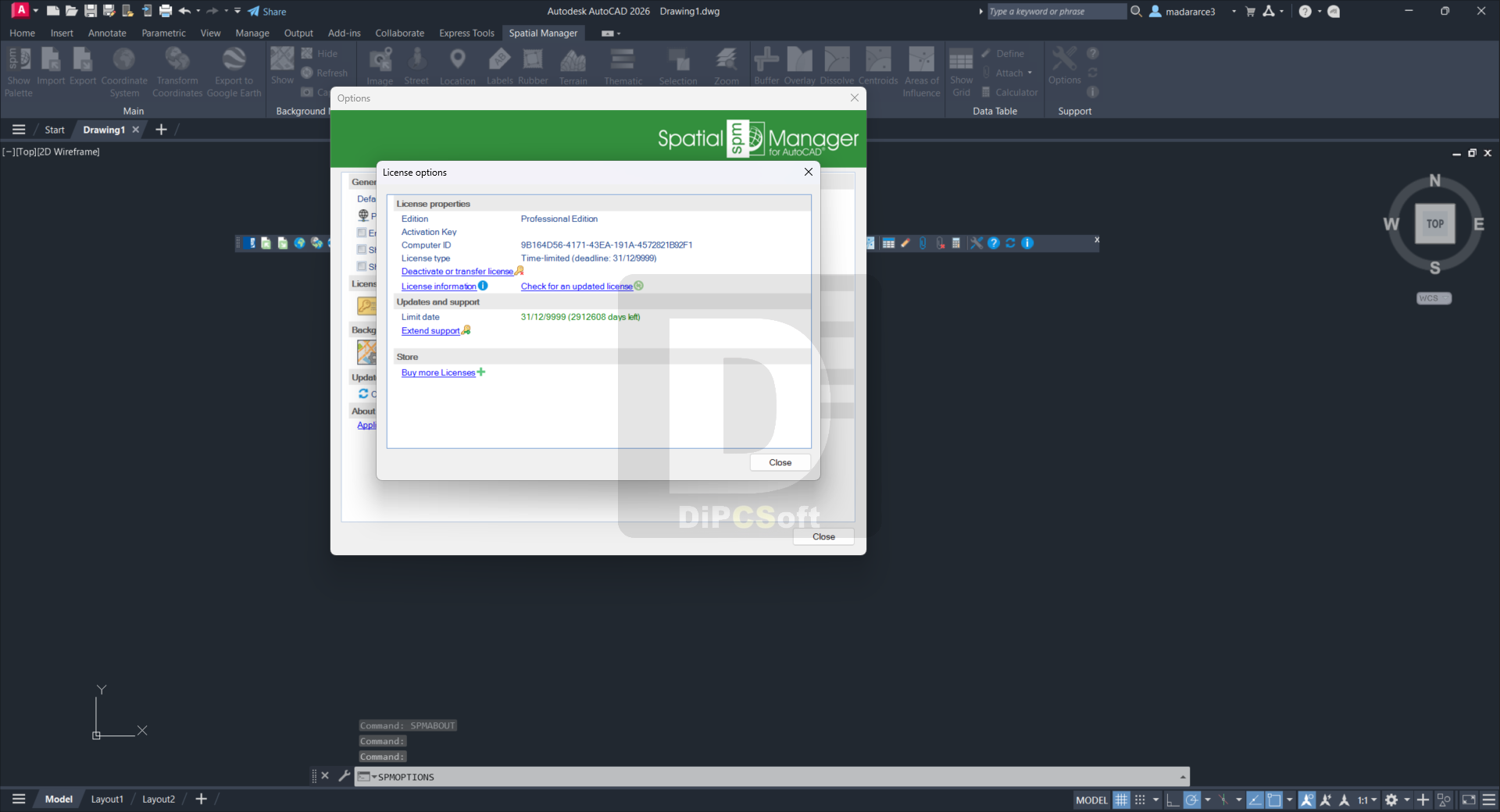
Perpetual license
Pay once, no periodic fees
Compatible with:
Autodesk AutoCAD
Version: 2026 , 2025 , 2024 , 2023 , 2022 , 2021 , 2020
Autodesk AutoCAD Electrical
Version: 2026 , 2025 , 2024 , 2023 , 2022 , 2021 , 2020
Autodesk AutoCAD Mechanical
Version: 2026 , 2025 , 2024 , 2023 , 2022 , 2021 , 2020
Autodesk AutoCAD Architecture
Version: 2026 , 2025 , 2024 , 2023 , 2022 , 2021 , 2020
Autodesk AutoCAD MEP
Version: 2026 , 2025 , 2024 , 2023 , 2022 , 2021 , 2020
Autodesk® Civil 3D®
Version: 2026 , 2025 , 2024 , 2023 , 2022 , 2021 , 2020
Autodesk AutoCAD Map 3D
Version: 2026 , 2025 , 2024 , 2023 , 2022 , 2021 , 2020
Screenshots
Downloads
Opencartis Spatial Manager for AutoCAD Professional 9.6.1.17012 / Mirror