
Analist 2027 is the professional software for land surveying and design, compatible with Total Stations, GNSS, Drones, and Laser Scanners.
Analist 2027 is the complete software for surveyors, engineers, architects, geomatics professionals, and land technicians. Designed to simplify and enhance every phase of surveying, from data collection to graphical output, it allows you to:
- Import data from GPS, total stations, drones, and laser scanners for integrated survey source management.
- Fully manage point clouds to generate sections, 3D models, and architectural surveys.
- Process elevation profiles, contour lines, orthophotos and digital terrain models (DTM/DSM).
- Create architectural drawings such as floor plans, elevations, and sections in a CAD environment.
- Manage cadastral maps and field books for updating and verifying cadastral data.
- Analyze special surveys: road accidents, construction sites, thermographic surveys, and precision farming.
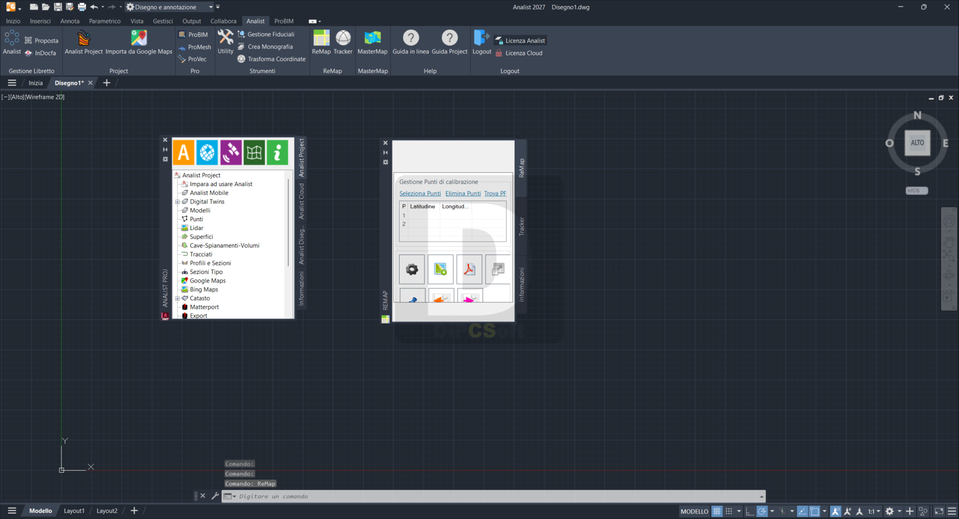
Screenshots
Downloads