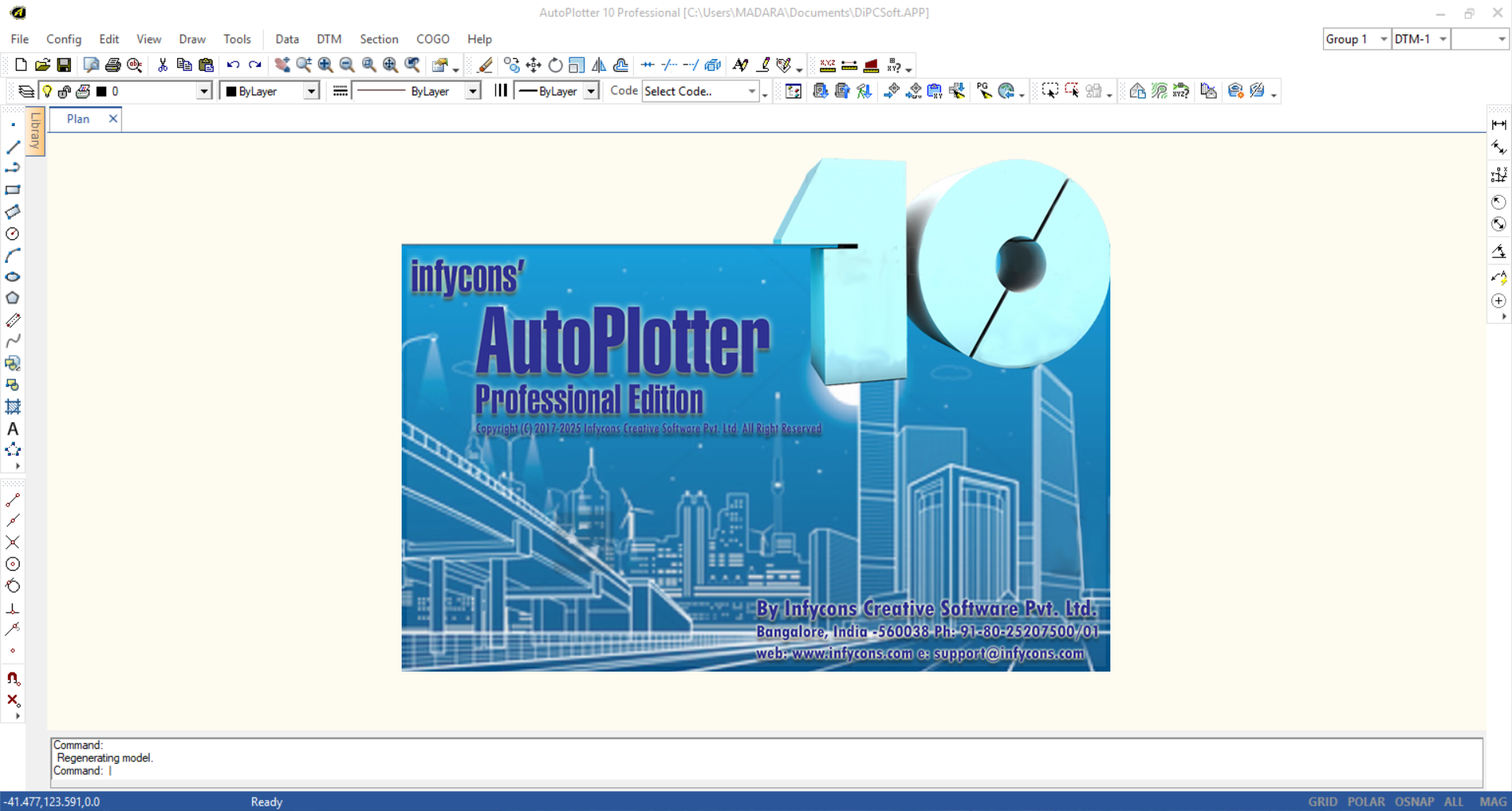
With AutoPlotter Pro, it does not matter whether you are using Topcon, Trimble, Leica, Sokkia or any other make of total station or any conventional or modern equipment. It is a general land survey software with powerful features for faster and accurate land survey data processing. Our customers have used the software for land development, route planning, mining, hydrographic and hydrological requirements.
While planning any site for construction of buildings, plants or any other infrastructure, AutoPlotter Pro can be useful to know land profile, grading, sections, ground features.
AutoPlotter Pro’s advanced DTM engine helps in generation of cut/fill contours, slope analysis and profiles. Section generation and volume calculation using different methods are the most widely used features of AutoPlotter Pro in mines. Added to it, quick learning curve helps in adapting it easily.
Capabilities
- Simplicity and Elegance
- Integrated Survey, Design and CAD
- Support for all Types of Survey Equipment
- Traverse Adjustment and Quality Checks
- Quick and Easy Contour Generation
- Instant Topographic Map Creation
- Enhanced DTM with Simplistic Design
- Automated Workflow for X-Section and Profile
- Powerful Earthwork Engine with Graphical Visualization
- 3D Terrain Visualization
Screenshots

Downloads
