Naviate for Civil 3D—a powerful add-on by Symetri that enhances and extends Autodesk Civil 3D’s core capabilities:
🧰 Edition Breakdown
Naviate Base
Core toolkit for solids manipulation (slice, union, subtract), feature lines, property sets and dynamic schedules.
Tools include sub-surface creation, slope patterns, view frame/array/sheet creation, hatch tools, and advanced volume analytics with export options
Naviate Road
Provides templates/settings for local standards, corridor enhancements, 3D-text projection, colored elevation schemes, improved volume reporting, and refined profile setup
Naviate Pipe
Efficient pipe and network tools: trench creation, subassembly editing, renumbering, pipe elevation modifications, profile generation, and pipe‑network recovery/enhancement tools
Naviate Landscape
Tailored for landscape architects: elevation editing (including mouse-wheel edits), plant data import via CSV, line-set and slope-arrow tools, volume calcs, 3D measurements, feature-line exports, styling libraries and much more
Naviate Traffic
Integrates with Civil 3D surfaces to model traffic elements: libraries for signs and markings (Sweden, Norway, Finland, USA), dynamic sign insertion, 3D sign and marking creation, and property-set exports
Naviate Infrastructure
A bundled package containing Road + Pipe + Landscape—ideal for complete civil infrastructure workflows
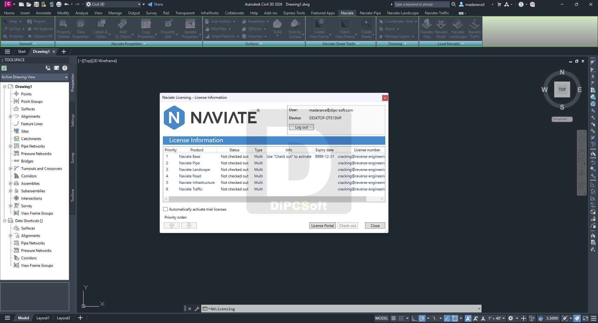
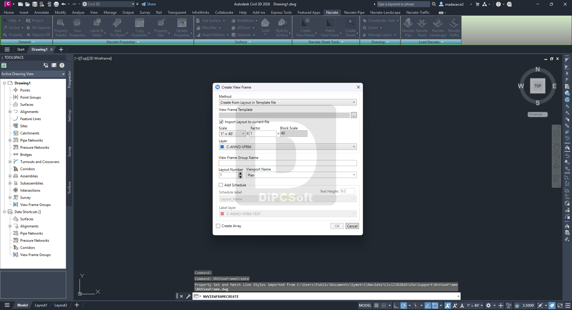
Screenshots
Downloads