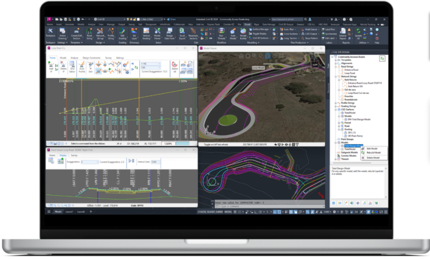
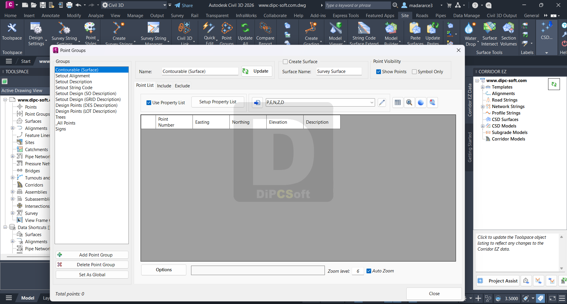
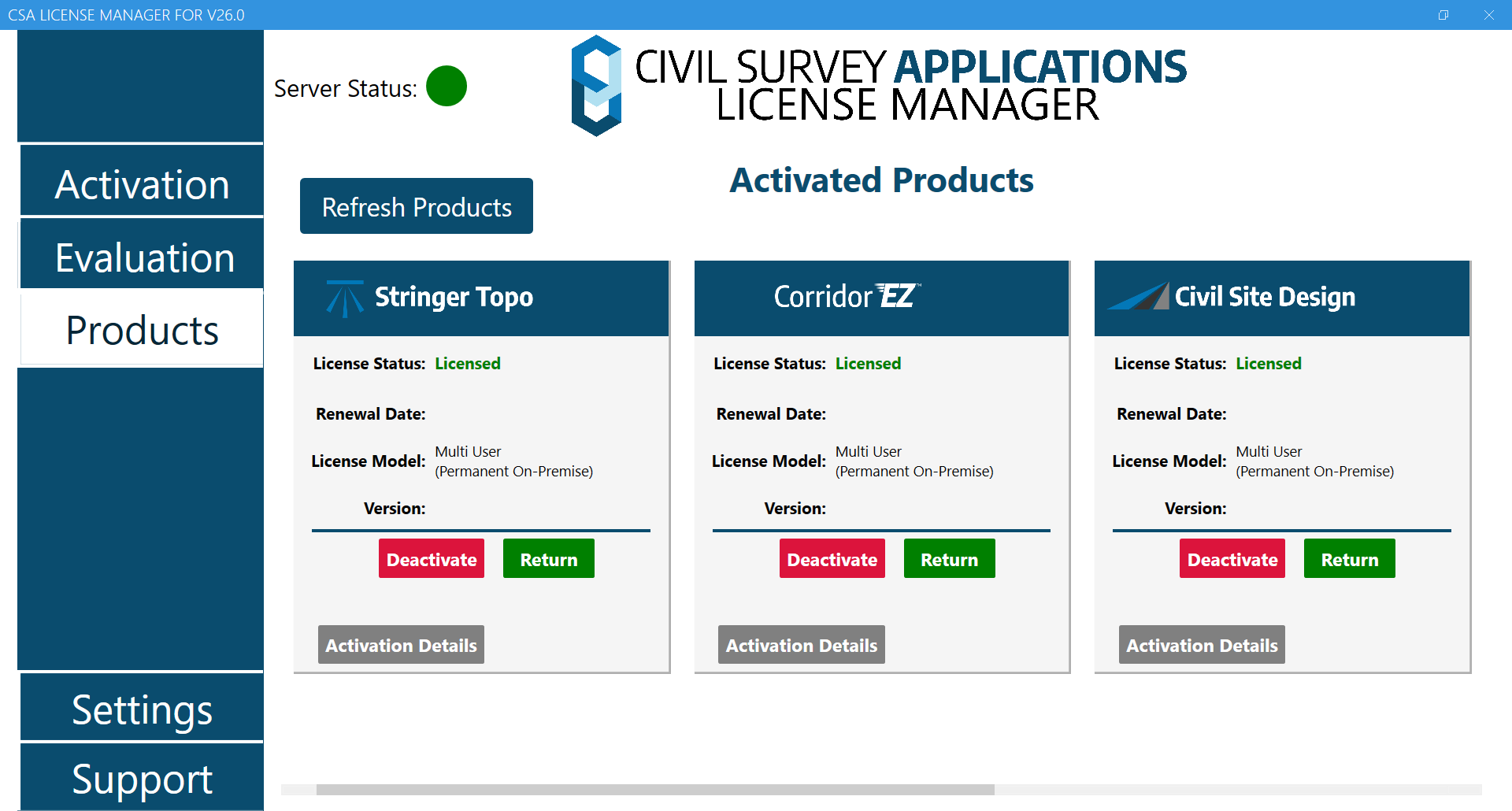
Civil Site Design is an add-on software package that integrates with Autodesk Civil 3D (as well as AutoCAD and BricsCAD), providing enhanced tools for road design, site grading, stormwater management, and subdivision design. It’s particularly useful for civil engineers and designers working on land development and infrastructure projects.
Here’s a breakdown of what Civil Site Design (CSD) offers within Civil 3D:
🔧 Key Features of Civil Site Design for Civil 3D
Road and Corridor Design
Automatically generates road networks with horizontal and vertical geometry.
Supports multi-road intersections and roundabout creation.
Dynamic road profiles and cross-sections.
Integration with Civil 3D corridors, assemblies, and surfaces.
Subdivision & Lot Design
Automates lot layout based on road centerlines and boundary constraints.
Quickly generate curb returns and adjust alignments.
Tools for bulk editing and reconfiguring subdivisions.
Surface and Grading Tools
Enhanced grading tools for pads, driveways, and custom slope designs.
Create and manage multiple surfaces (e.g., existing, design, subgrade).
Faster and more intuitive than native Civil 3D grading tools.
Pipe Networks and Stormwater
Pipe design tools for stormwater, sewer, and drainage networks.
Intuitive layout and editing of pipes with dynamic long-section views.
Links to stormwater analysis tools like SSA, DRAINS, or XPStorm.
Automation & Efficiency
Rapid model creation with templates and styles.
Bulk editing of design parameters across an entire network.
Export models to Civil 3D objects (e.g., surfaces, alignments, corridors).
Visualization & Outputs
Section and profile generation with customizable templates.
Quantity takeoff reports for cut/fill and materials.
Compatibility with Civil 3D labels, styles, and data shortcuts.
Screenshots
Downloads